DRONE
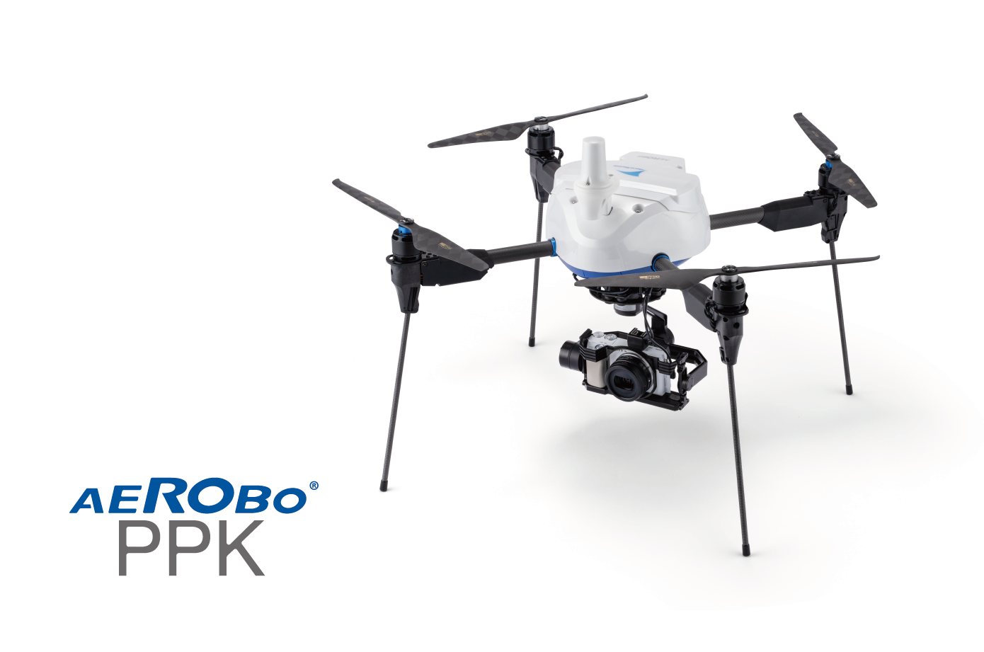
Introducing the Aerobo PPK (AS-MC03-PPK), a dedicated surveying drone with a built-in dual-frequency GNSS receiver. Highly accurate surveying can be performed without placing a ground control point. It is ideal for surveying sites that are frequently surveyed or where there are differences in elevation.
AS-MC03-PPK
Useful for shorter working hours
Made in Japan drone that can take aerial photos without a ground control point.
The Aerobo PPK is a domestically developed photogrammetric drone designed to reduce the working hours required to set up ground control point, which is a particularly difficult part of the photogrammetric surveying process.
It can perform photogrammetric surveying without setting up a grading point, making it particularly suitable for "site progress management" and "soil volume inventory" where drone every day surveying.
FEATURES
Main Features of Aerobo PPK
POINT
1
Ease of use in daily surveying
Post-processing kinematic positioning enables measurement without a ground control point. This contributes to a significant reduction in the working hours required to place ground control point.
POINT
2
Easy surveying of inaccessible areas
As it can survey without a ground control point, it is possible for measuring inaccessible areas.
POINT
3
Surveying 10 ha in one flight
Equipped with a high-capacity battery for long flight time, it can fly over a 10 ha* site in a single flight, helps to further reduction of work time.
(*Equivalent to a flight range of more than 2 flights with a small drone)
POINT
4
High wind resistance and accuracy equivalent to that of ground control point photogrammetry
High wind resistance for safe operation in strong winds up to 15 m/s, enabling stable flight even at high altitudes. Even at an altitude of 50m, surveying accuracy is equivalent to i-Construction standards.
POINT
5
Easy to make flight plans.
Safe operation with fully automated flights.
Easy operation from flight plan to flight using the flight management application designed based on our experience in the surveying field. The system can be operated safely and fully automatically from takeoff to landing.
POINT
6
All processes from development to production are processed in Japan.
The airframe and flight controller are designed in-house, and manufacturing in Japan.
WORKFLOW
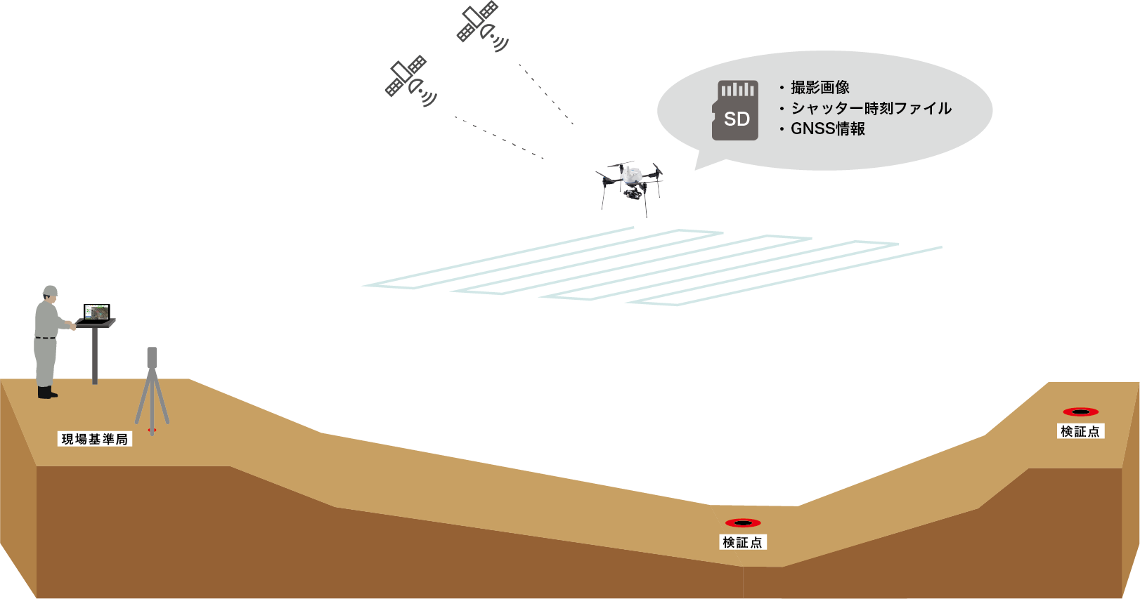 *The PPK analysis process uses radio wave information from a reference station, which can be a dual-frequency GNSS rover equivalent device or an electronic reference point.
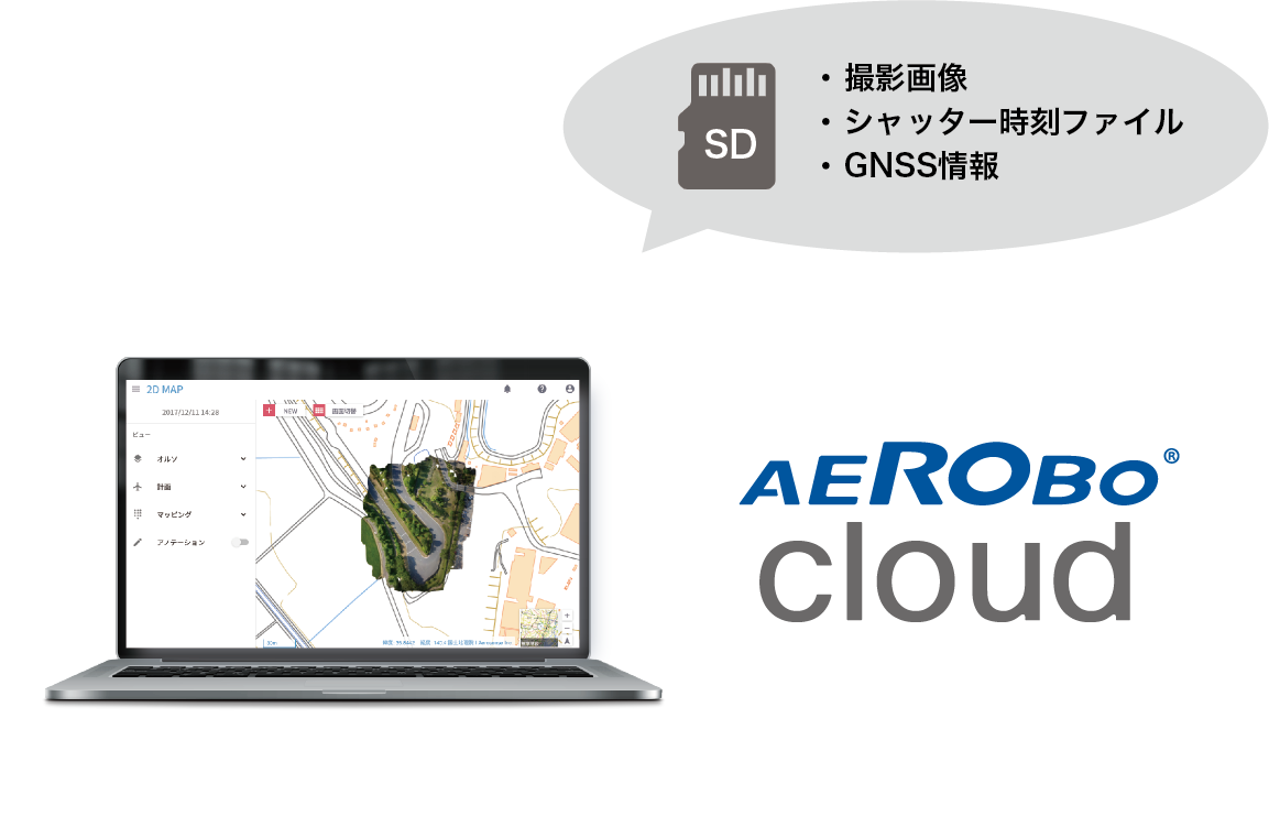 *Image analysis software "Aerobo Cloud" is used for PPK analysis processing.
SPECIFICATIONS
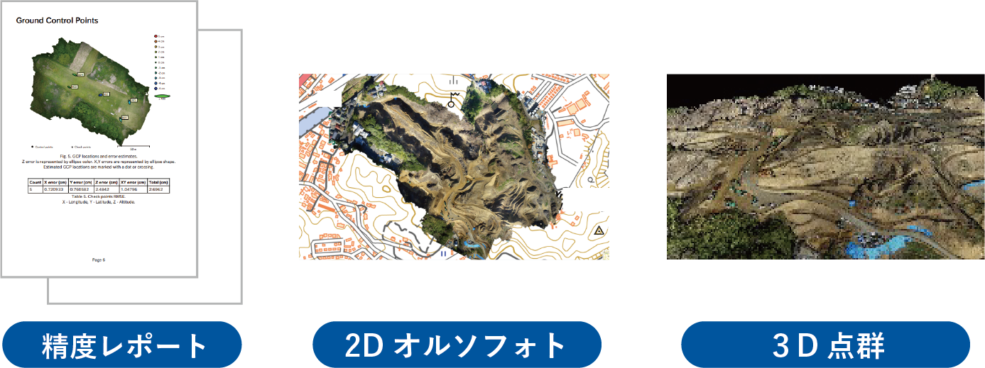
The Aerobo PPK (AS-MC03-PPK) is equipped with a dual-frequency GNSS receiver and can acquire highly accurate positioning information directly from satellites, enabling surveying accuracy equivalent to i-Construction standards (within ±5 cm) without installing a ground control point as a reference point.
Safety
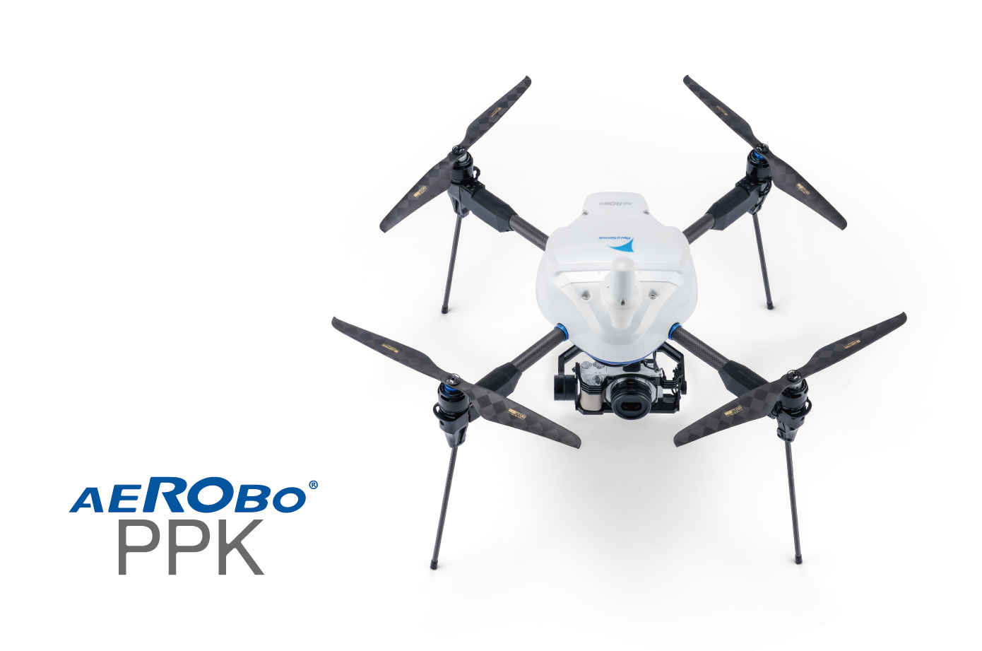
| Outer size | 517 x 517 x 509 mm(without propellers) |
|---|---|
| Weight | 2.87 kg |
| Battery | 6S 16,000 mAh Lithium polymer |
| payload weight | 1.1 kg |
| Max flight time | 26分(Safe flight time with 30% battery remaining)*¹ |
| Max wind endurance | 15 m/s |
| Max flight speed | 36 km/h |
| Water/Dust proof level | IP43 |
| Flight controller | Proprietary flight controller + application processor |
| Sensor | GPS, acceleration/angular velocity/magnetism (3 axes each), barometric press |
| Operating temperature | -5〜40℃(without battery) |
| GNSS | GPS/QZSS、GLONASS、Galileo、Beidou |
| Radio frequency | 機体制御2.4GHz |
| Camera | Sonyα6100、3 axis gimbal |
| Safety |
|
INFORMATION
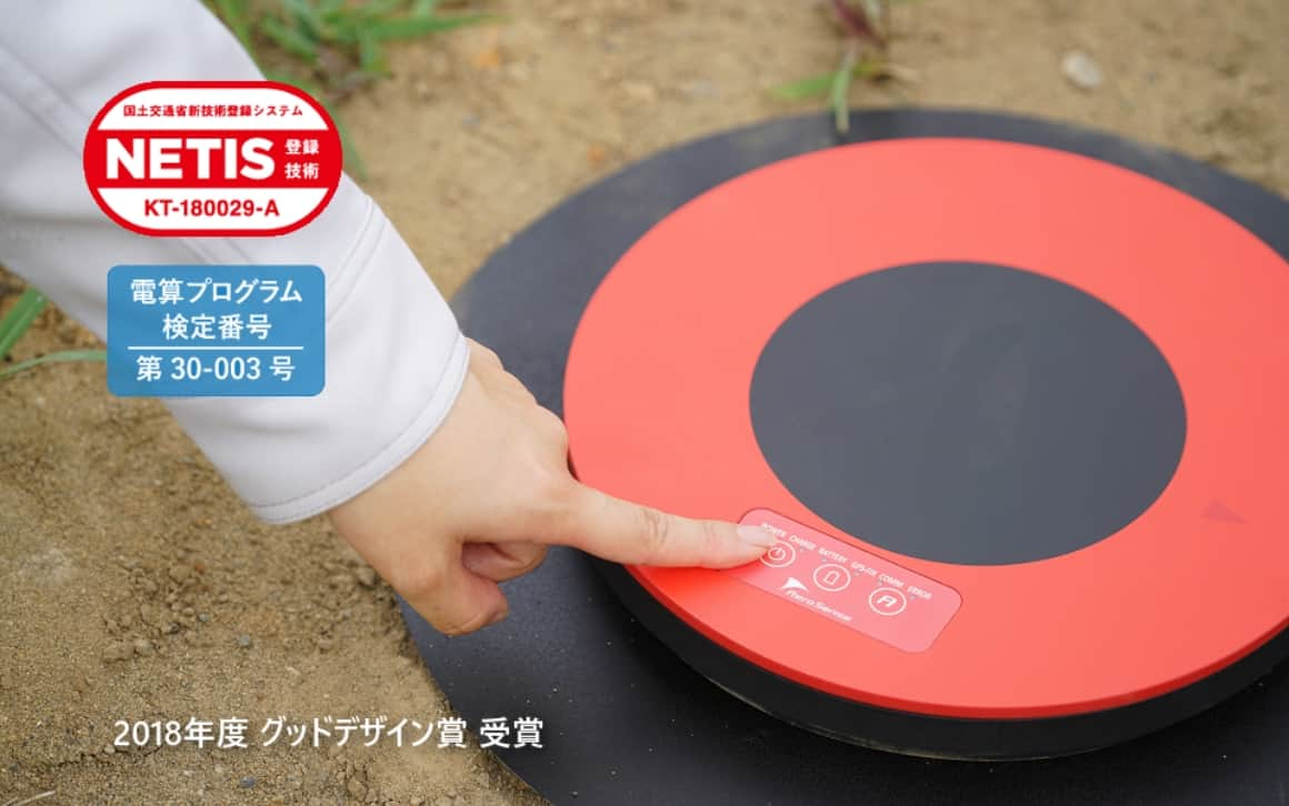
The Aerobo Marker is ground control point with GNSS functions. While the drone is taking aerial photos, the Aerobomarker's position can also be measured (GNSS static positioning method), thus shortening the field work.
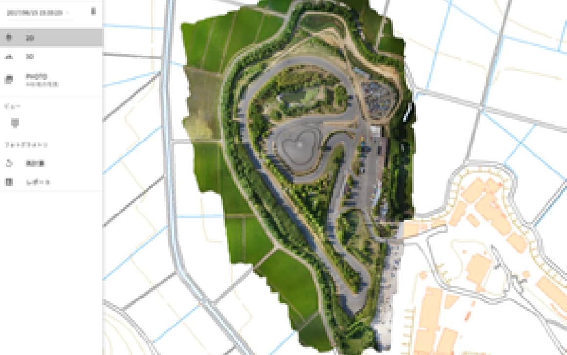
Aerobo Cloud is a cloud-based photogrammetry application that manages, processes, and analyzes drone-related data and captured images, and can be used anytime, anywhere, using only a web browser.
Click here to download the documents.
Download product catalogs for drones and catalogs for peripheral equipment and systems.
If you are considering introduction
or would like a free consultation, click here.
We accept a wide range of consultations related to the introduction of drones, from concerns about drone utilization to specific product considerations. Please feel free to contact us using the form on this website.
We will send you the latest case studies, product information, and proposals for problem solutions for IoT solutions utilizing drones via E-mail newsletter.
Download product catalogs for drones and peripheral equipments.
We accept a wide range of consultations, from drone purchasing to business requirements.