DRONES
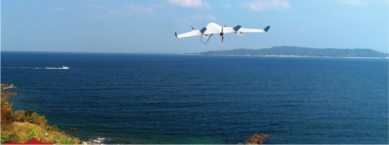
Introducing the Aerobo Wing (AS-VT01), a fixed-wing vertical takeoff and landing aircraft (VTOL) ideal for wide-area and long-distance flights. Depending on the application scenario, the optimal payload can be selected, such as a laser scanner or a thermal imaging camera.
AS-VT01
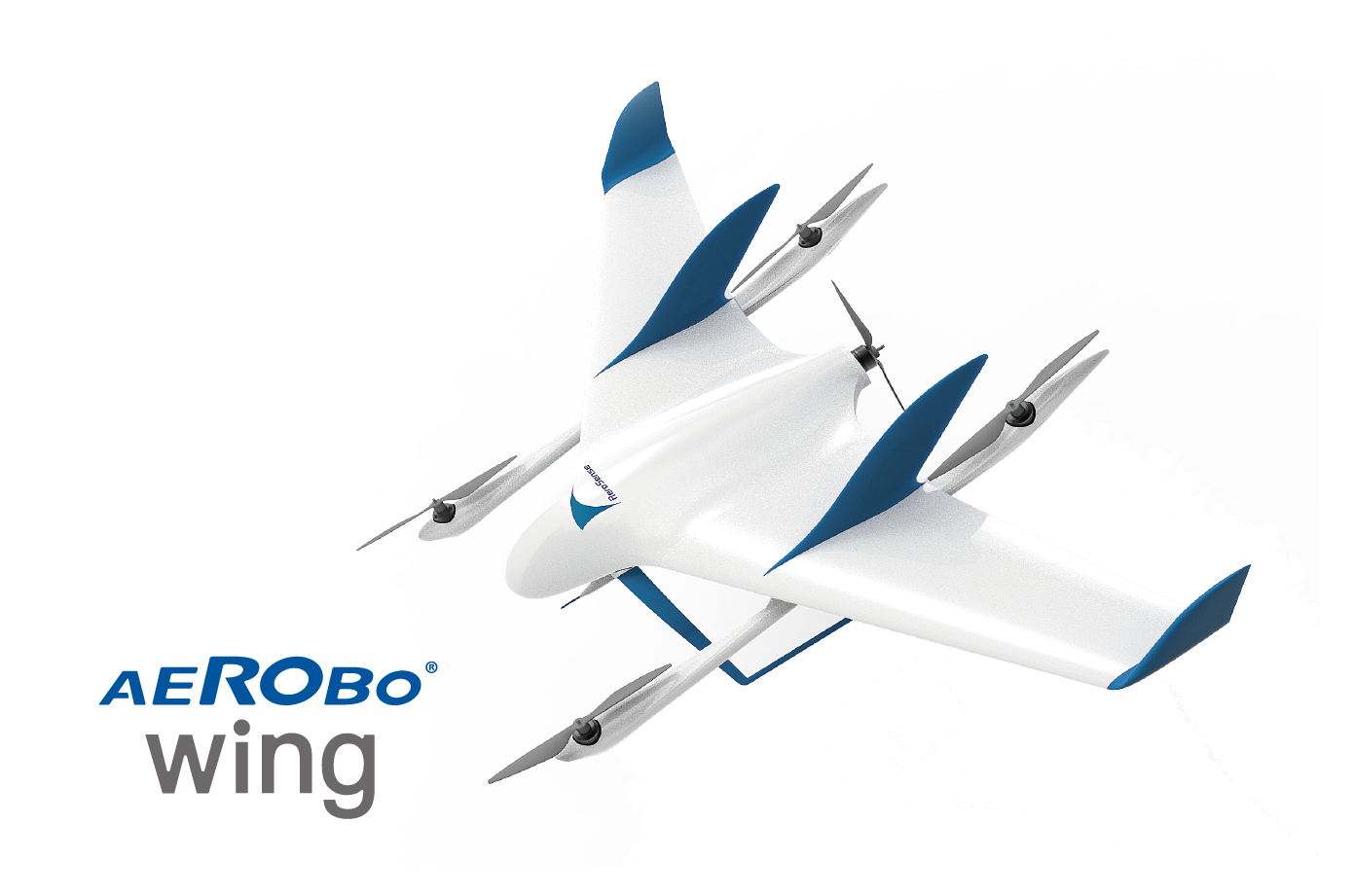
A multi-purpose drone for long-distance inspections, patrols, surveys, and wide-area surveying, without range limitations.
We launched the "Aerobo Wing" in 2020 as the first domestically produced fixed-wing vertical takeoff and landing (VTOL) drone.
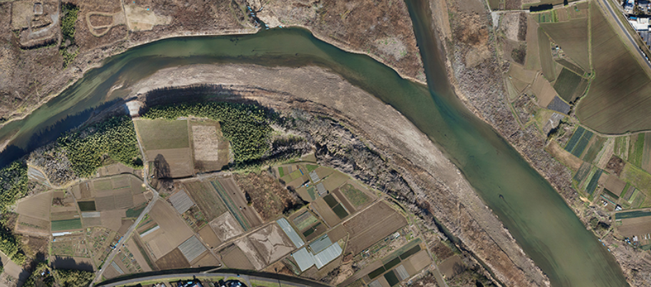
Capable of high-speed flights of up to 50 km and a maximum speed of 100 km/h, it is used in places where long-distance and wide-area flights are required, such as inspections in mountainous areas, patrols of ocean areas, and survey flights along rivers.
FEATURES
Main Features of Aerobo Wing
Automatic flight is controlled by integrating the embedded supercomputer "Jetson TX2" and our original flight controller on the same board.
Optimal systems are built for each application.
POINT
1
Straight line distance 50km,
survey flight 300ha in one flight
It can fly up to 50 km in fixed-wing mode, allowing it to fly long distances and over a wide area.
POINT
2
Fully automated flight from takeoff to landing
From drone preparation to landing, no complex operations occur, ensuring stable operation. The integration of the flight controller and the built-in computer allows the mission to be executed only one press of a button. The flight is fully automated from takeoff to landing, so there is no need to operate the drone.
POINT
3
Utilize LTE communications
to fly beyond radio range
An LTE communication module is built in as standard for checking the surrounding conditions and maintaining control during flight. If an application for radio frequency use is submitted and approved prior to flight, the scope of utilization can be further expanded.
POINT
4
Takeoffs and landings are possible from limited space
Takeoff and landing can be performed vertically in multicopter mode. Even in mountainous areas where it is difficult to secure a runway, it can take off and land if a 5m x 5m space is available.
FEATURES
Main Applications
Inspection and Survey
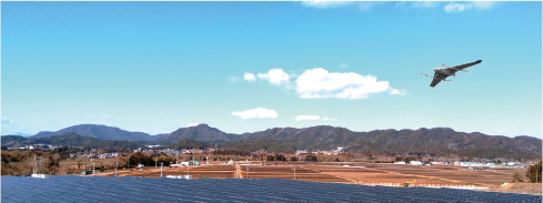 The aircraft can be used for patrol flights and surveys in mountainous areas and at sea, and for inspections of roads and power lines that require long-distance flights.
[Examples] Power line inspections, disaster prevention and disaster investigation, sabo inspections, mountain river surveys and inspections, fishery resource protection, etc.
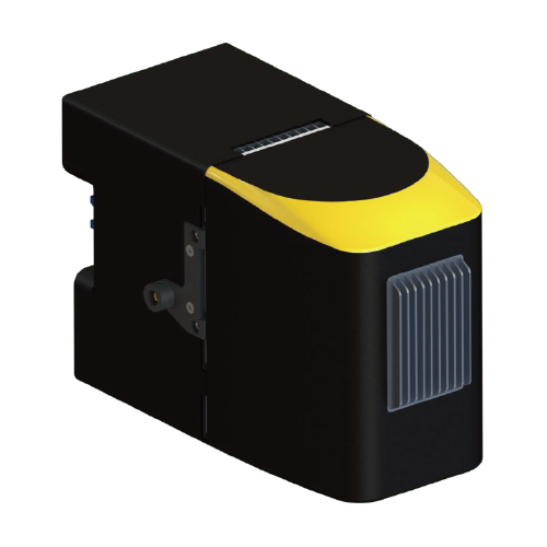
Surveying
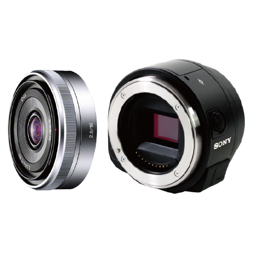
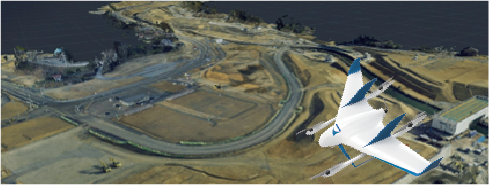 Possible to equip a large camera with interchangeable lenses and a laser scanner. It can survey several hundred hectares in a single flight.
[Examples]Large-scale surveying, disaster prevention and disaster investigation
Agriculture
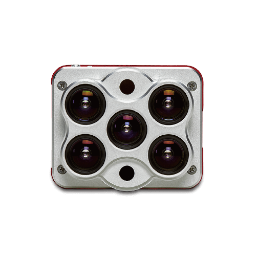
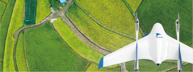 The multispectral camera allows for speedy analysis of crop growth on large farms.
[Examples] Precision farming
Lightweight supplies distribution for emergencies
 In the event of a disaster or emergency, the space behind the aircraft can be used to transport medical supplies to an isolated area several 10km away.
[Examples] Distribution of medical supplies in case of disaster
FEATURES
Optimum payloads can be mounted according to the purposes.
[Main applications]
Surveying, Inspection survey
(wide area photogrammetric surveying, wide area surveying after the disaster)
[Main applications]
Laser surveying
(e.g., surface surveys of forests and valleys)
[Main applications]
Precision agriculture
(Field growth survey, etc.)
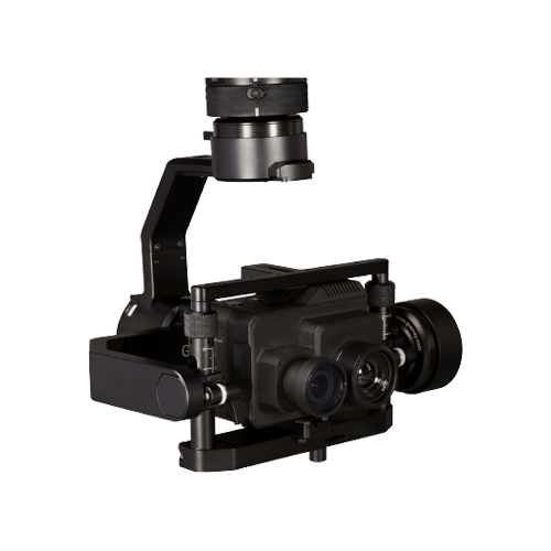
[Main applications]
Patrols and surveys
(Inspection by video, patrol survey, etc.)
[Main applications]
Lightweight supplies distribution
(e.g., delivery of medical supplies in the event of a disaster)
Other payloads are also available.
Please feel free to contact us.
(Separate development costs and time will be required.)
SPECIFICATIONS
Automatic takeoff/landing and automatic flight according to flight plans are realized using the dedicated software "Aerobo Station”. The optimal payload can be selected according to the purpose.
Safety features
| External dimensions | 2130 x 1200 x 450 mm (excluding propellers) |
|---|---|
| Body weight | 9.2kg(including battery) |
| Maximum take-off weight | 10.2 kg |
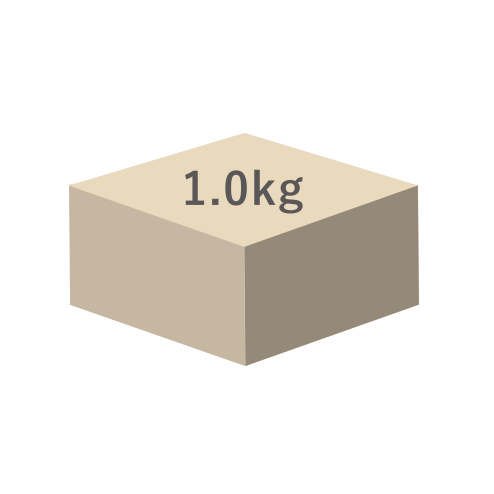
| Maximum payload | 1 kg |
| Maximum operating time | 40 minutes (safe flight time with 30% battery remaining) |
| Maximum flight distance | 50km |
| Maximum speed | 100 km/h |
| Cruising speed | 75 km/h |
| Flyable wind speed | 10 m/s |
| Flight control | Automatic navigation according to flight plan or manual flight |
| Flight Controller | Dedicated in-house flight controller+High performance application processer(Linux) |
|
Safety features |
|
| Sensor | GPS, IMU, Camera, etc. |
| Expansion Ports | USB, UART, etc. |
DELIVERABLE ITEMS
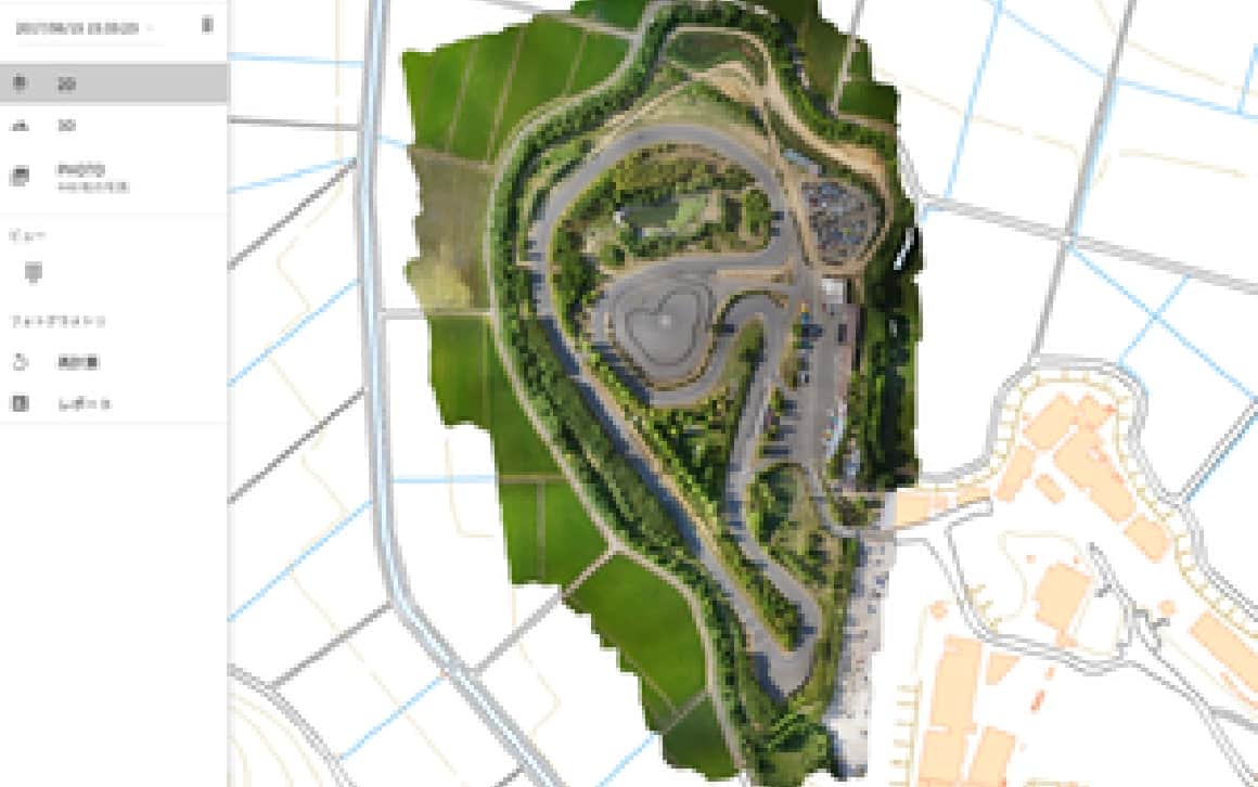
Orthophoto (2D)
 By uploading aerial photos to image analysis software such as Aerobo Cloud, a single large model photo of the ground surface can be created. This can be used to record the appearance of the ground surface.
Video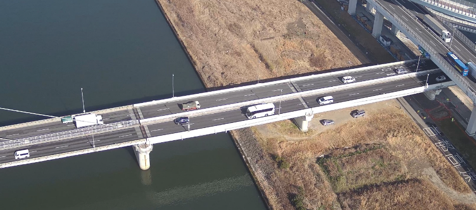 Video captured during flight can be transmitted in near real time to remote locations such as monitor rooms using a video circulation service. Since the recording data is also saved in the drone, it is possible to review the video taken after the flight.
INFORMATION
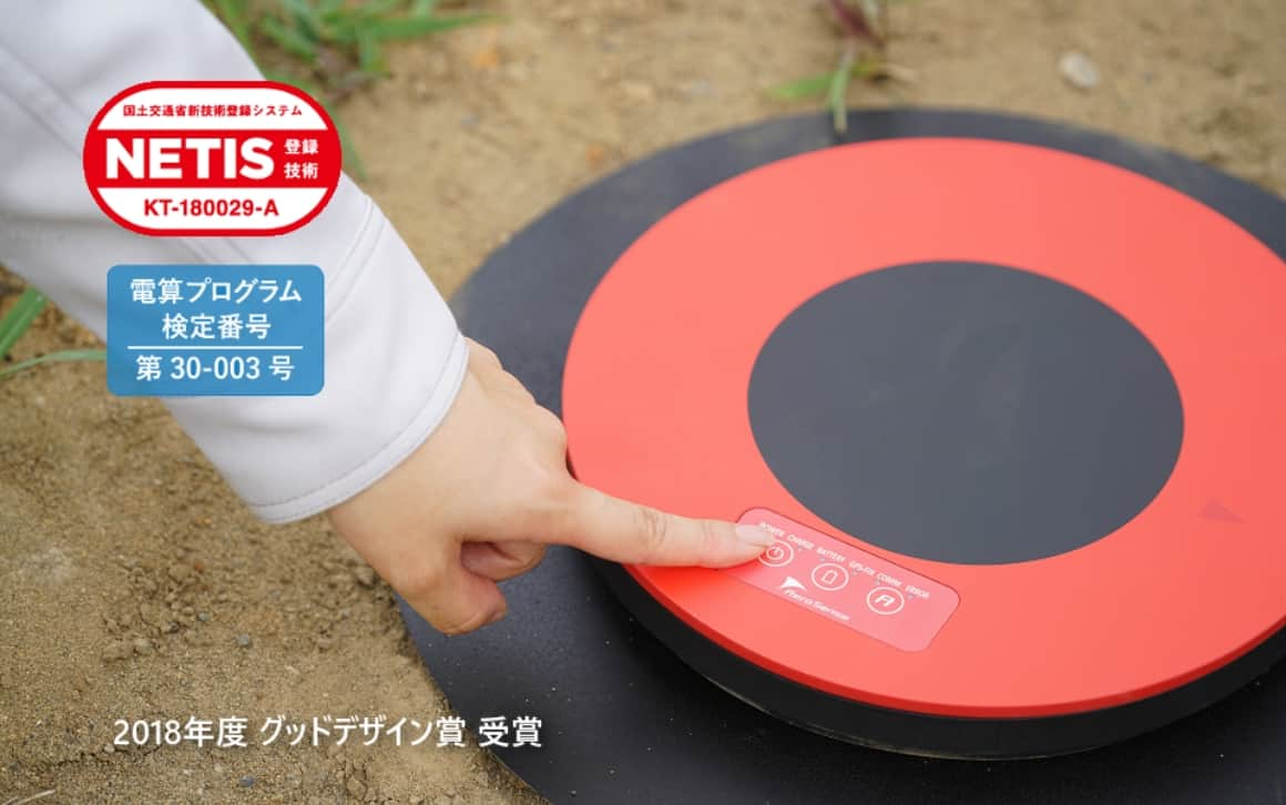
The Aerobo Marker is ground control point with GNSS functions. While the drone is taking aerial photos, the Aerobomarker's position can also be measured (GNSS static positioning method), thus shortening the field work.
Aerobo Cloud is a cloud-based photogrammetry application that manages, processes, and analyzes drone-related data and captured images, and can be used anytime, anywhere, using only a web browser.
Click here to download the documents.
Download product catalogs for drones and catalogs for peripheral equipment and systems.
If you are considering introduction
or would like a free consultation, click here.
We accept a wide range of consultations related to the introduction of drones, from concerns about drone utilization to specific product considerations. Please feel free to contact us using the form on this website.
We will send you the latest case studies, product information, and proposals for problem solutions for IoT solutions utilizing drones via E-mail newsletter.
Download product catalogs for drones and peripheral equipments.
We accept a wide range of consultations, from drone purchasing to business requirements.