In addition to drone airframes, we also develop in-house solutions for utilizing drones in various industrial fields. We will introduce our anti-aircraft signs used for surveying and cloud-based data processing services for analyzing images acquired by drones.
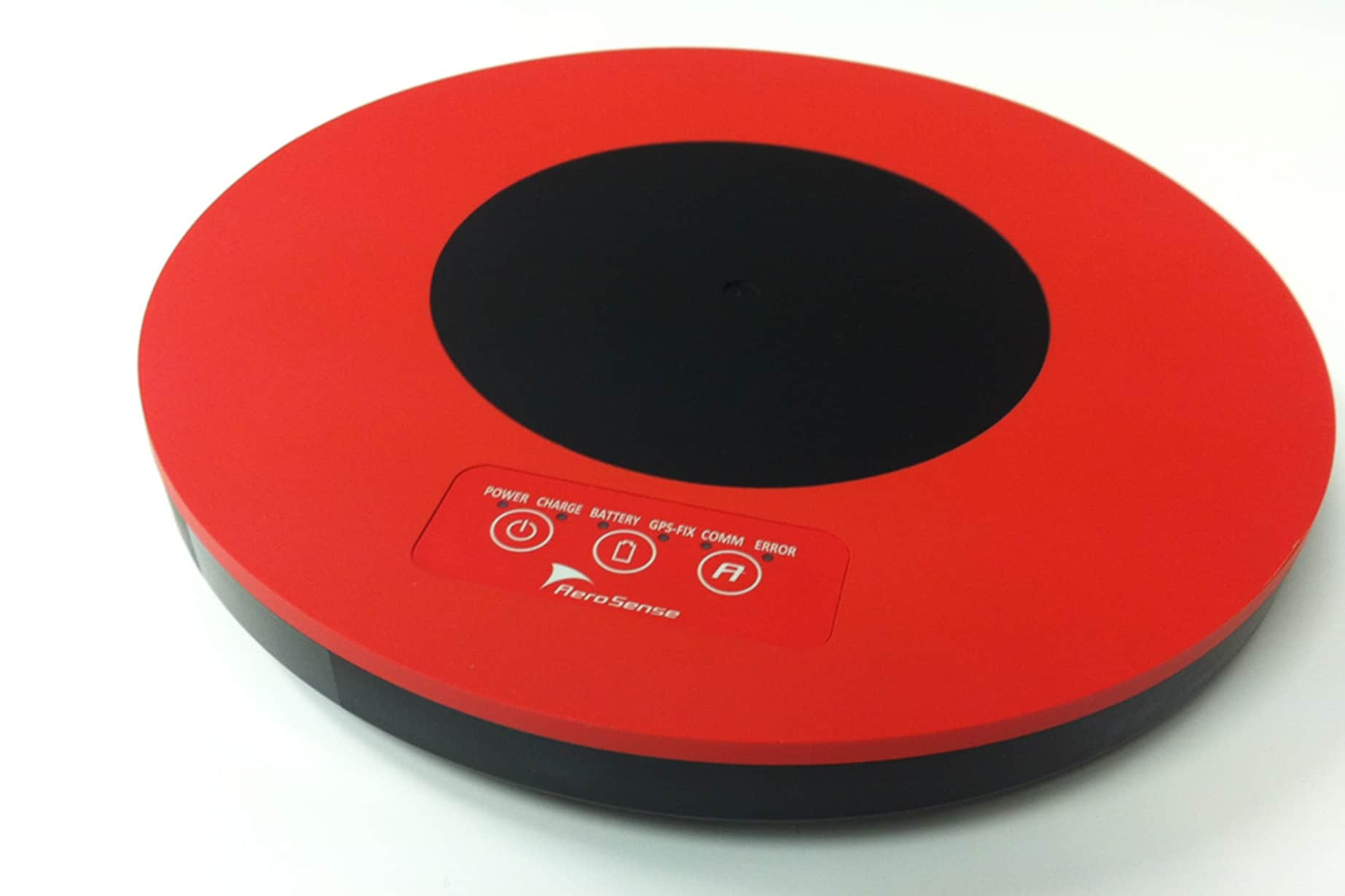
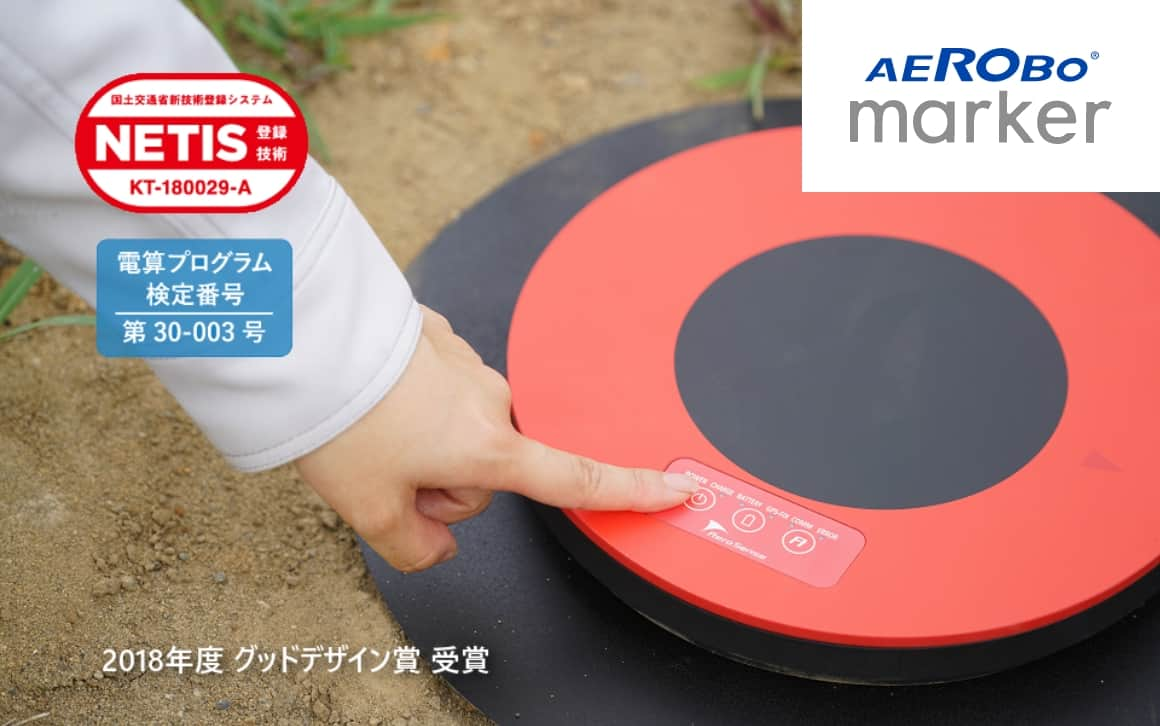
Aerosense focuses not only on the drone itself, but also on the development of related equipment and systems necessary for drone-based work. Aerobo Marker, a ground control point used for drone surveying, contributes to reducing man-hours required for work in the field and shortening the time required for image processing after data acquisition.
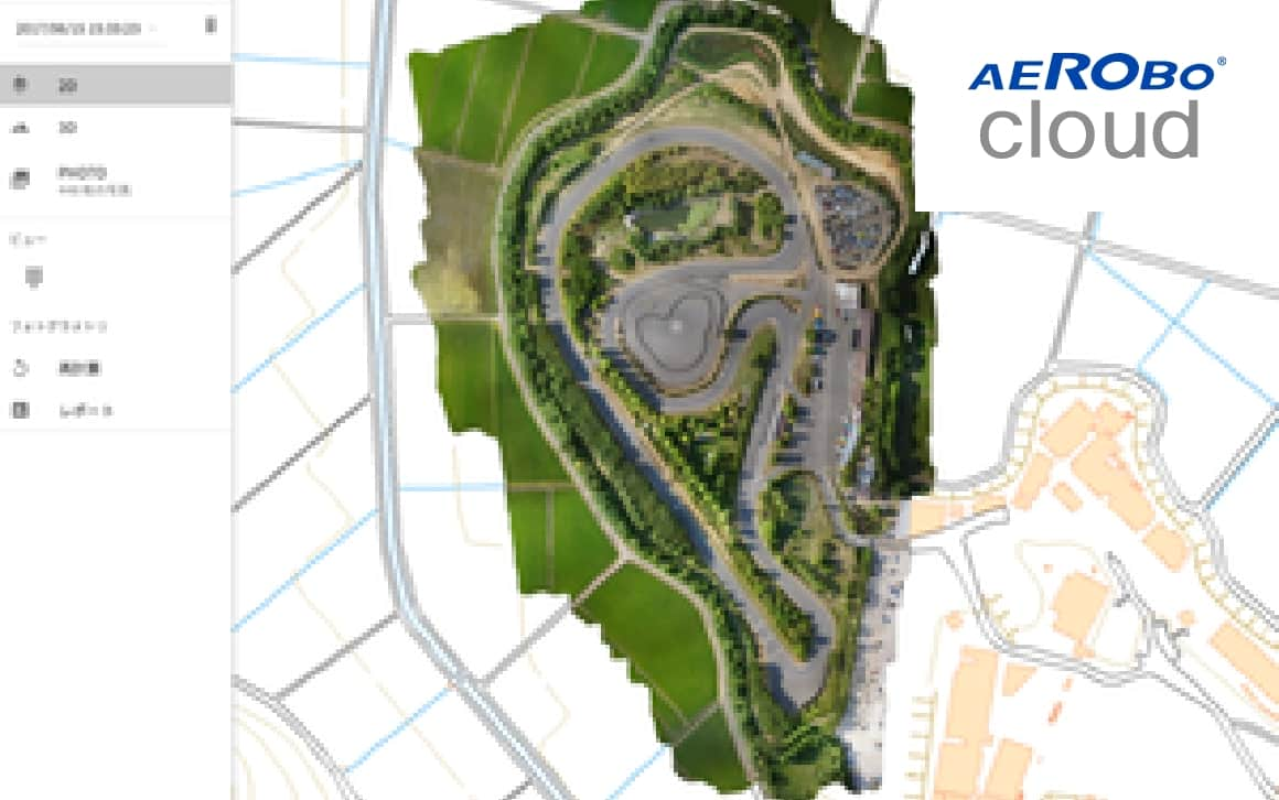
In addition, the cloud-based drone data processing service "Aerobo Cloud" enables high-speed image processing anytime, anywhere on a web browser, leading to reduced costs for maintaining high-performance machines and improved operational efficiency.

Static positioning method with higher accuracy than RTK
Aerobo Marker is a ground control point with GNSS functionality.
It reduces surveying workload.

Ultra-fast image analysis and processing cloud software
Aerobo Cloud is a cloud-based application that manages, processes, and analyzes drone-related data and captured images, and can be used anytime, anywhere, using only a web browser. Analysis results can be easily shared. It features high-speed image analysis processing and high-precision survey processing in the cloud.

We will send you the latest case studies, product information, and proposals for problem solutions for IoT solutions utilizing drones via E-mail newsletter.
Download product catalogs for drones and peripheral equipments.
We accept a wide range of consultations, from drone purchasing to business requirements.